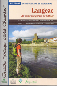
The rambles present on this territory allow the walkers to discover the gorges of Allier, a river remained wild. Nestled in the heart of these gorges, Langeac, Prades or Saint-Julien-des-Chazes proposed some walks in wild and sometimes not easily accessible locations from one of the last wild river of Europe.
At the West of Haute-Loire, Langeac and its region offer the possibility to combine hike, sports in white water, wild nature and remarkable heritage. In landscapes where mingle speed-sided gorges and volcanism, the river Allier will make the happiness of families and sportspersons for some holidays in the heart of a wild region. The 17 tours of walks in this guidebook will guide you in this discovery of the Allier.
From 45 minutes to 6h30 of hike, most of the tours are accessible by a wide public. On the other hand, some of the track, in the heart of the gorges of Allier, can have significant differences in height but they will offer amazing landscapes on this wild river.
The rambles present in the guidebook of Langeac include a precise description of the tour and a topographical IGN map. One also finds thematic pages about the fauna and flora, the heritage, and other useful information…
The walks are marked in yellow and are maintained by the local council communities of Langeac. Some of the tours has been certified Respirando by the Township tourism office of Haute-Loire.
Cliquez sur les marqueurs pour afficher le détail du circuit


Bonjour,
Nous avons emprunté le chemin de randonnées PR79. Il semble que sur le haut du parcours les balises jaunes aient disparu.
Merci de votre retour.
Bien cordialement.
Fabrice Brun
Bonjour,
Et merci pour votre signalement. Pouvez-vous nous apporter quelques précisions sur l’endroit exact que vous désignez par “haut du parcours” ? Nous pourrons ainsi faire remonter l’info de manière plus adéquate.
En vous remerciant.