The suc* of Ceneuil: easy to reach and panoramic
The tour of the suc de Ceneuil, itinerary between Loire and volcano, is certified “Volcans en Liberté” (it’s a project aiming to highlight the cultural and scientific interest of the volcanic resources of Haute-Loire and Mézenc – Gerbier).
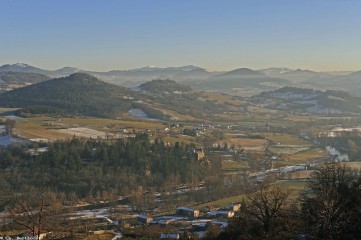
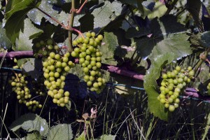
The suc, traditionally reserved to the vine-growing because of its privileged exposure, allows to discover some sumptuous panoramas over the plains of Loire in Emblavez.
View over the Emblavez, between Loire and volcano
At about 20 minutes to the north of Le Puy-en-Velay, the PR 70 “le Suc de Ceneuil” will allow you to discover the landscapes of Emblavez. Of a length of 7.1 km, this walk tour starts from the hamlet of Ceneuil (municipality of Saint-Vincent) then strolls on pleasant paths, crossing Chalignac then Chevrac. You will need a little more than 2 hours to travel this itinerary which is accessible to almost everybody (difficulty: easy).
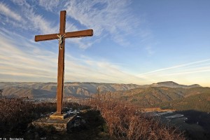
You will then do the path around the Suc de Ceneuil, sometimes on plains and sometimes on the hillsides. Only one recommendation, do not only go around but climb to the top! An interpretation trail, beginning from Ceneuil, will lead you to the top of the suc, where a 360-degree view on the valley of Loire will wait for you (viewpoint indicator).
Useful information
- PR 70 Le Suc de Ceneuil (The Suc of Ceneuil)
- Yellow markings, Respirando Tour
- Start from the hamlet of Ceneuil (town of Saint-Vincent), 20 km away from Le Puy-en-Velay, by the secondary road D 103 then D 28
- Length of the tour: 7.1 km
- Difference in height: + 200 m
- Difficulty: easy
- Estimated time: 2h15 (+ 40 minutes for the two-way trip till the top)
- Information, topographical IGN map and description are available in the guidebook of the “Pays de l’Emblavez”
1 – Note: a “Suc” is a specific volcanic hill of Massif Central, an area of France.
Pictures of the suc of Ceneuil


